MnDOT Weigh Station(s)
Structure Name
MnDOT Weigh Station(s)
O.N.E. Involvement
Worthington:
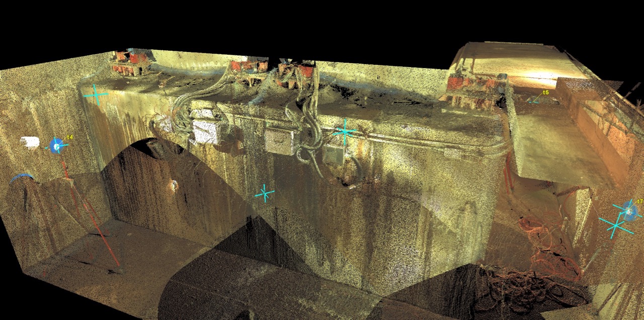
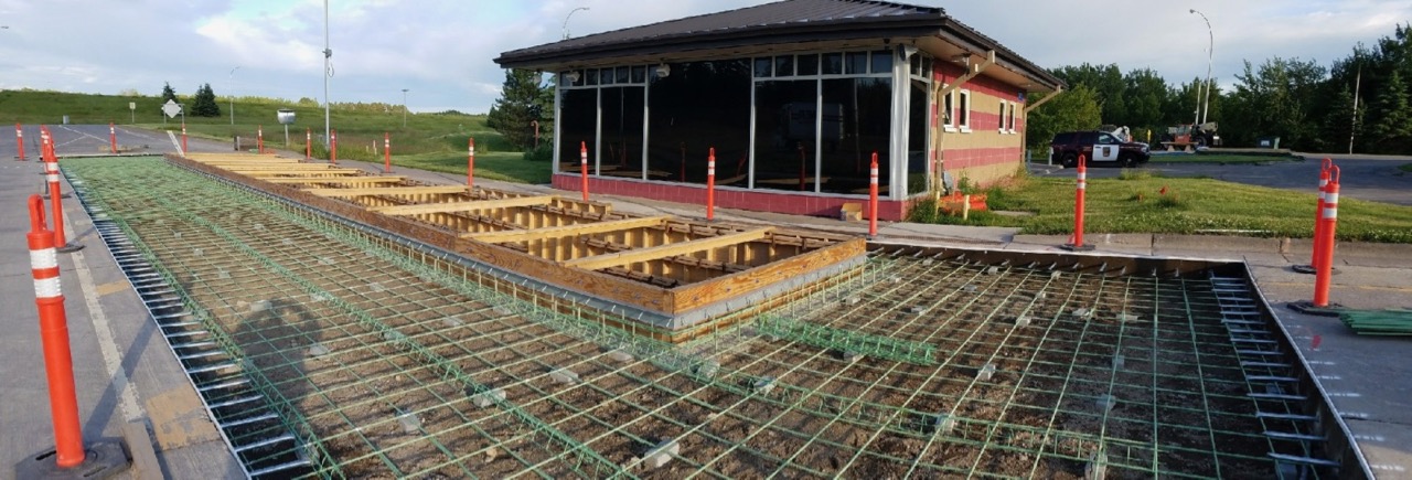
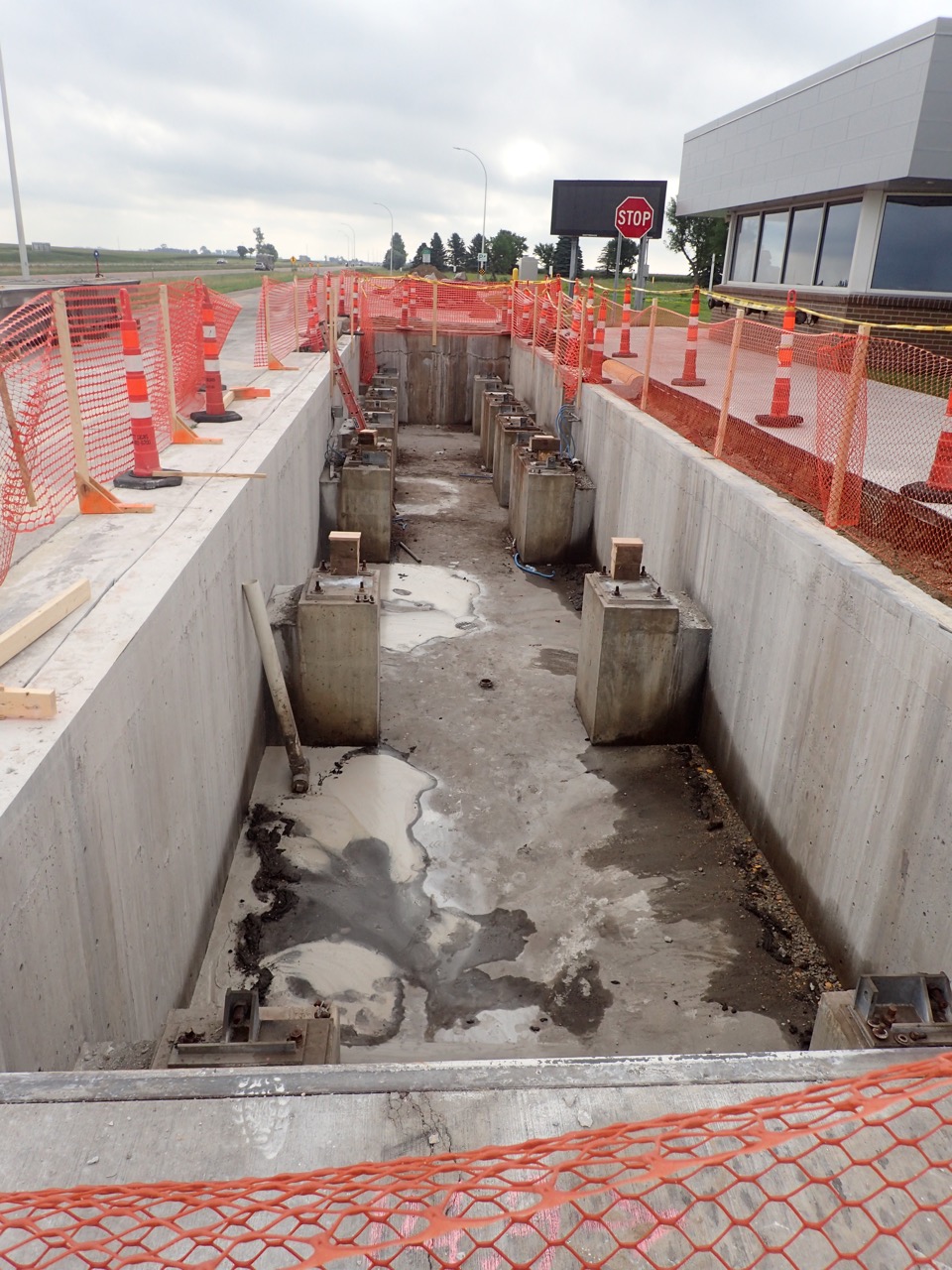
O.N.E. conducted a field inspection and laser scan survey. An initial inspection report was generated and then repair plans were developed based on this information. Repairs have since been made and the station is currently open and operational.
Saginaw:
O.N.E. conducted a field inspection and laser scan survey. An initial inspection report was generated and then repair plans were developed based on this information. Repairs have since been made and the station is currently open and operational.
St. Croix:
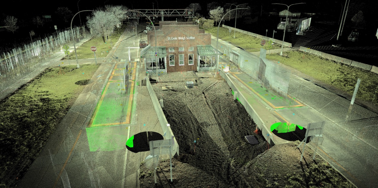
O.N.E. conducted a field inspection and laser scan survey. An initial inspection draft report was generated. This scale is currently open and operational with no recent repairs made.
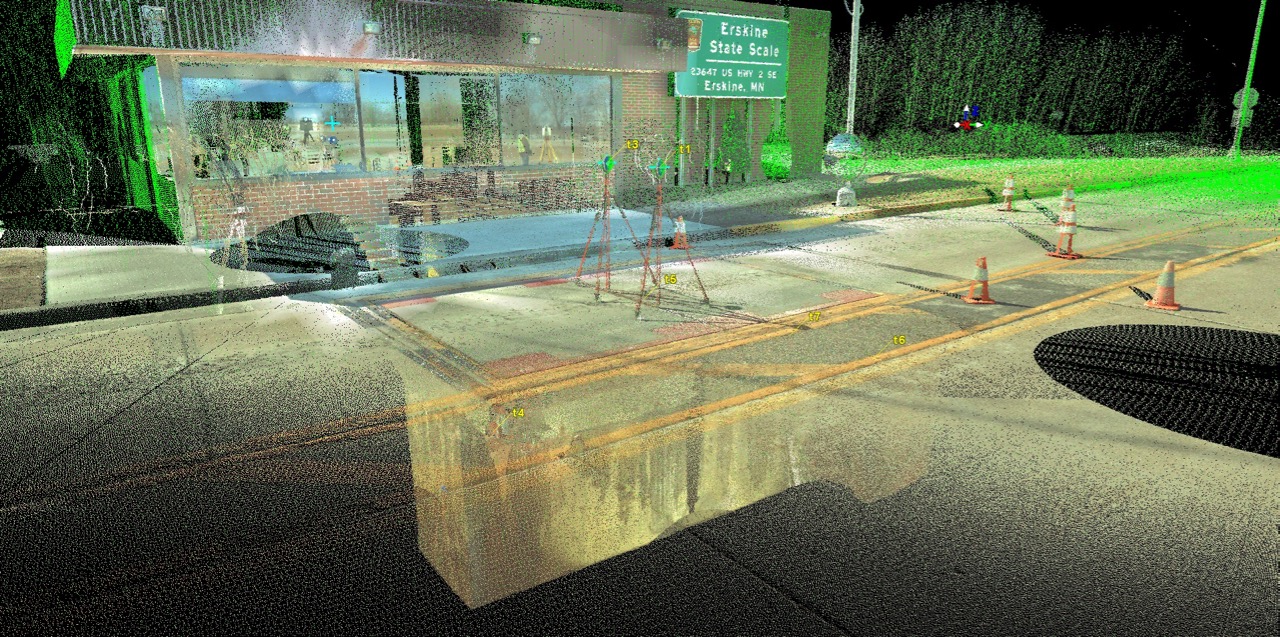
Erskine:
O.N.E. conducted a field inspection and laser scan survey. An initial inspection draft report was generated. This scale is currently open and operational with no recent repairs made.
Structure Type
Worthington:
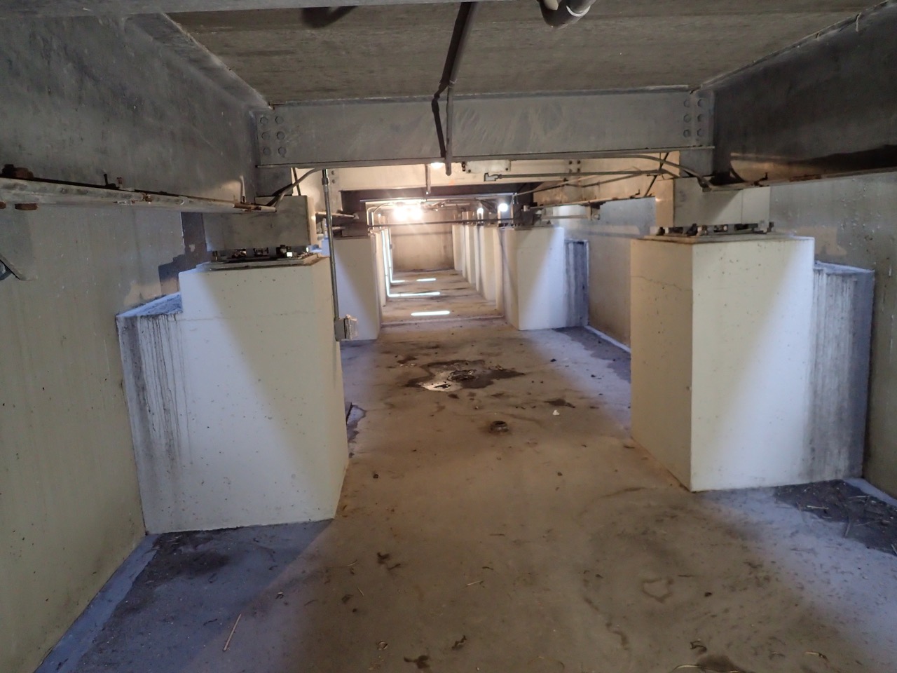
Single scale consisting of: One – 15’-0” x 10’-0”, Two – 10’-0” x 10’-0” and One – 40’-0” x 10’-0” at grade concrete platforms atop below grade concrete pit.
Saginaw:
Single scale consisting of: One – 15’-0” x 10’-0”, Two – 10’-0” x 10’-0” and One – 40’-0” x 10’-0” at grade concrete platforms atop below grade concrete pit.
St. Croix:
Twin Scales, each consisting of: One – 15’-0” x 10’-0”, Two – 10’-0” x 10’-0” and One – 40’-0” x 10’-0” at grade concrete platforms atop below grade concrete pit.
Erskine:
Single Scale consisting of: Two – 7’-6” x 10’-0” at grade concrete platforms atop below grade concrete pit.
Bridge Location
Worthington:
Worthington, MN (Nobles County)
Lat/Long – 43.637126, -95.545953
Saginaw:
Saginaw, MN (St. Louis County)
Lat/Long – 46.844307, -92.461439
St. Croix:
Stillwater, MN (Stearns County)
Lat/Long – 44.958061, -92.789400
Erskine:
Erskine, MN (Polk County)
Lat/Long – 47.656401, -95.969568

Comments are closed, but trackbacks and pingbacks are open.